2.5. HTA: Hazard to Asset
This section provides an overview of the methods in the R2D tool for mapping hazard intensities to assets within a specified region, including the Regional Mapping and Local Mapping approaches.
2.5.1. Regional Mapping
In regional analyses, hazard intensities need to be specified across a geographic area accurately. Often, these intensities are determined at a grid of points rather than the precise locations of assets. The Regional Mapping option facilitates the assignment of hazard intensities to assets by the Nearest Neighbor Event to locate the nearest grid point(s) where hazard intensities are available.
2.5.1.1. Nearest Neighbor Event
The Nearest Neighbor Event application draws samples of hazard intensities from adjacent grid points based on proximity. The input pane for this application, depicted in Fig. 2.5.1.1.1, necessitates the specification of:
Number of samples: Determines the quantity of samples to be drawn at each grid point.
Number of neighbors: Sets the count of neighboring grid points to draw samples from.
Seed: Initializes the random number generator. Utilizing the same seed value ensures the reproduction of an identical sequence of sampled numbers.
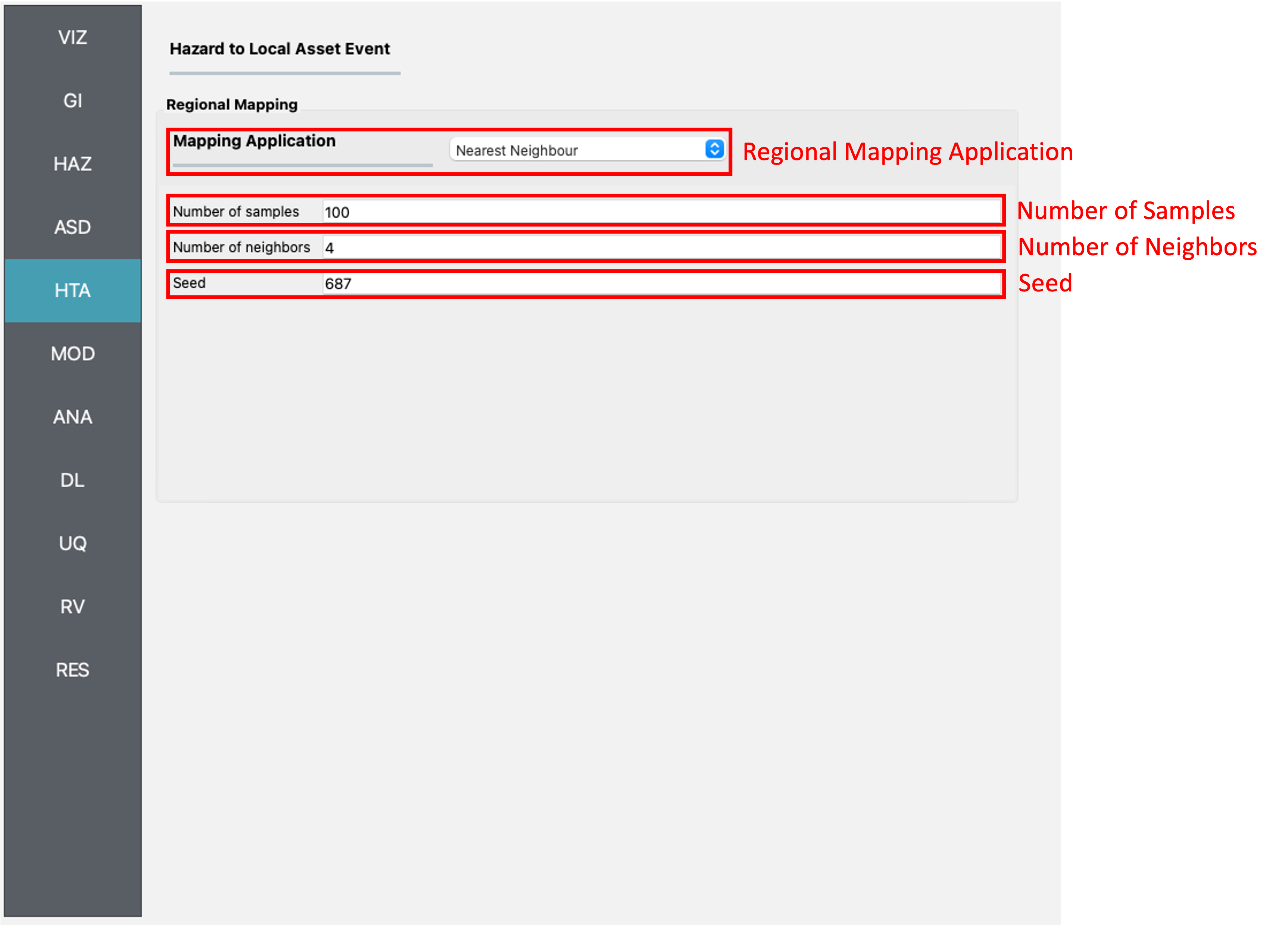
Fig. 2.5.1.1.1 Nearest neighbor event input panel.
2.5.1.2. Site Specified Event
For scenarios where hazard intensities are available at the exact asset locations, the Site Specified Event application is the appropriate choice. This application, illustrated in Fig. 2.5.1.2.1, allows for the input of hazard intensities directly by the user or through calculations within the R2D workflow.
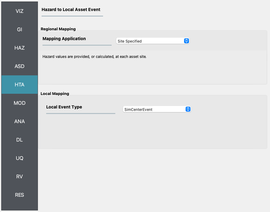
Fig. 2.5.1.2.1 Site-specific event input panel.